Katja Long · 28 September 2026
Open-Air Displays Highlight Local Resistance to Industrial Development Plans
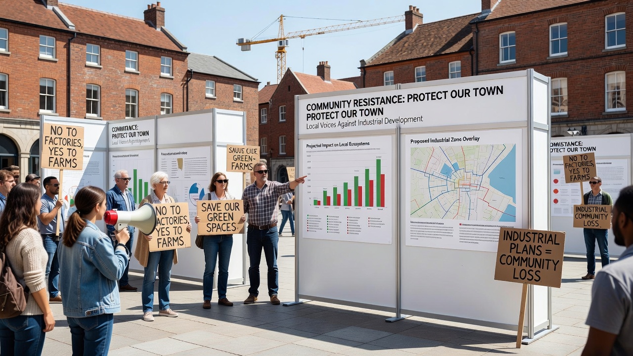
Residents across Sparkfeld have organized a series of open-air displays that showcase opposition to proposed industrial zones on the town's outskirts, and these installations combine photography, sculpture, and interactive maps to document potential changes to local landscapes. The displays emerged in response to development applications filed earlier this year, which outline plans for manufacturing facilities and logistics hubs that would occupy several hectares of agricultural land. Organizers scheduled the main exhibition phase to run through September 2026, allowing visitors to view the works during evening hours when lighting highlights key elements against the surrounding fields.
Background on the Proposed Industrial Expansion
Local authorities received formal submissions for the industrial project in late 2025, and these documents describe infrastructure that includes access roads, utility connections, and wastewater treatment systems designed to support multiple production sites. Data from municipal records shows that the designated area currently supports mixed farming operations, while environmental assessments submitted with the applications note impacts on groundwater flow and habitat corridors. Officials from the European Environment Agency have reviewed similar proposals in other regions, and their reports indicate that such developments often require mitigation measures for soil compaction and emissions control.
Details of the Open-Air Installations
Artists and volunteers constructed the displays using recycled materials collected from nearby farms, and each piece incorporates elements such as enlarged aerial photographs that illustrate current land use alongside projected overlays of factory footprints. Interactive panels allow passersby to trace projected traffic increases on digital maps, while sound installations play recorded interviews with farmers describing seasonal cycles that could shift if the plans advance. The second major installation cluster appears along the main pedestrian route through the central green, and it features a sequence of illuminated panels that activate at dusk to emphasize data on air quality trends drawn from regional monitoring stations.
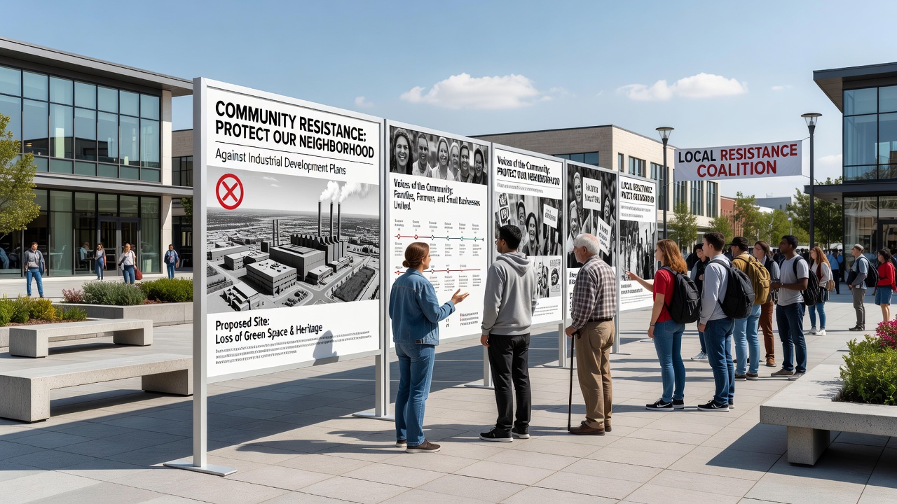
Attendance figures compiled by the organizing committee reached several hundred during the first weekend of public viewing, and subsequent weekdays have seen steady foot traffic from both locals and visitors from adjacent districts. Workshops held alongside the displays teach participants how to interpret environmental impact statements, and these sessions reference guidelines published by teh Australian Department of Climate Change, Energy, the Environment and Water on assessing cumulative effects of industrial siting.
Community Organization and Documentation Efforts
Groups coordinating the displays maintain an online archive that catalogs submissions to planning authorities, and this repository includes petitions signed by residents who cite concerns over noise levels and changes to the visual character of the area. Researchers from regional universities have assisted with data collection on biodiversity within the proposed zone, and their preliminary findings highlight species that rely on hedgerows scheduled for removal under current blueprints. Those who have studied comparable cases note that open-air formats can increase public engagement compared with indoor meetings alone, because the installations remain accessible outside standard office hours.
Regulatory Context and Timeline Considerations
Planning review processes require public consultation periods, and the displays coincide with one such window that extends into the following year. Submissions to the relevant district council must address specific criteria outlined in national spatial planning statutes, while additional input from the European Environment Agency covers transboundary considerations when projects border protected zones. Observers note that timelines for final decisions often stretch beyond initial estimates, and September 2026 has been identified as a point when updated environmental modeling could influence revised proposals.
Conclusion
The open-air displays continue to evolve as new contributions arrive from participants, and they serve as a record of community input during the ongoing review of industrial development applications. Municipal records indicate that further hearings are expected before any construction permits advance, while parallel monitoring programs track baseline conditions in the affected areas. These efforts connect local documentation practices with broader regulatory frameworks that guide land-use decisions across multiple jurisdictions.